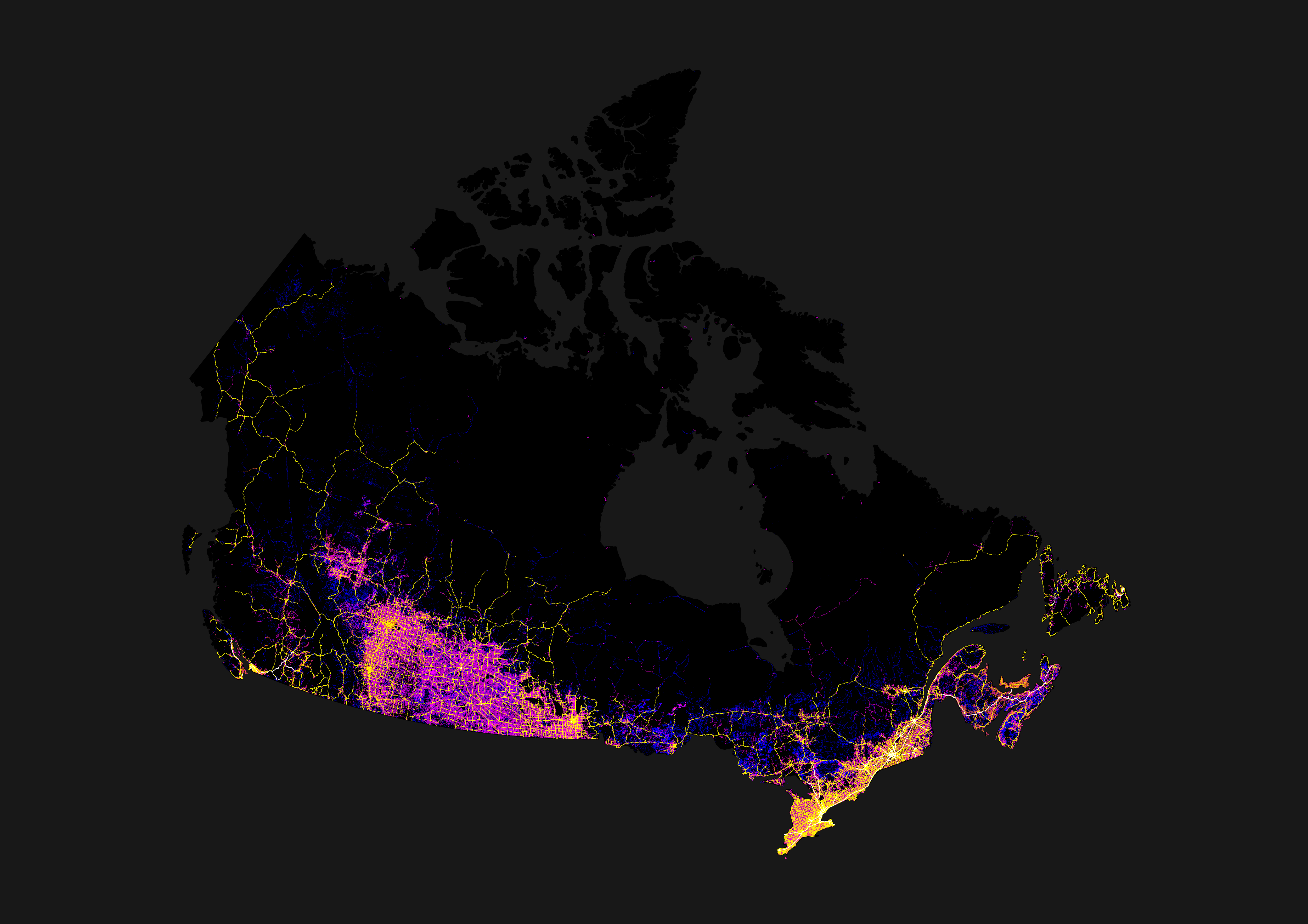
I guess all the large areas shaded blue where I’m pretty sure there aren’t many roads (e.g. northern Ontario) are recent logging activity that still looks like roads to whatever software did the satellite image analysis.
Some of it’s actually rail and not roads—I’m pretty sure that one line running up to the bottom of James Bay is actually the Polar Bear Express’ tracks for at least part of its length. Some may also be clearance for seasonal (ice) roads, or high-tension power lines. And yeah, some of it’s probably logging.
Such as the more northerly line running east from Winnipeg.